Surveying
Utility surveying and mapping
Utility surveying and mapping is a service that involves the collection, analysis, and presentation of spatial data related to utilities such as water, gas, electricity, telecommunications, and drainage systems. This service helps to identify and map out the location, depth, and condition of various utility infrastructures, which is important for maintenance, repair, and future planning purposes.
As a utility surveying and mapping service provider, our goal is to provide accurate and reliable information to our clients about the location and condition of their utility infrastructure. Our service includes:
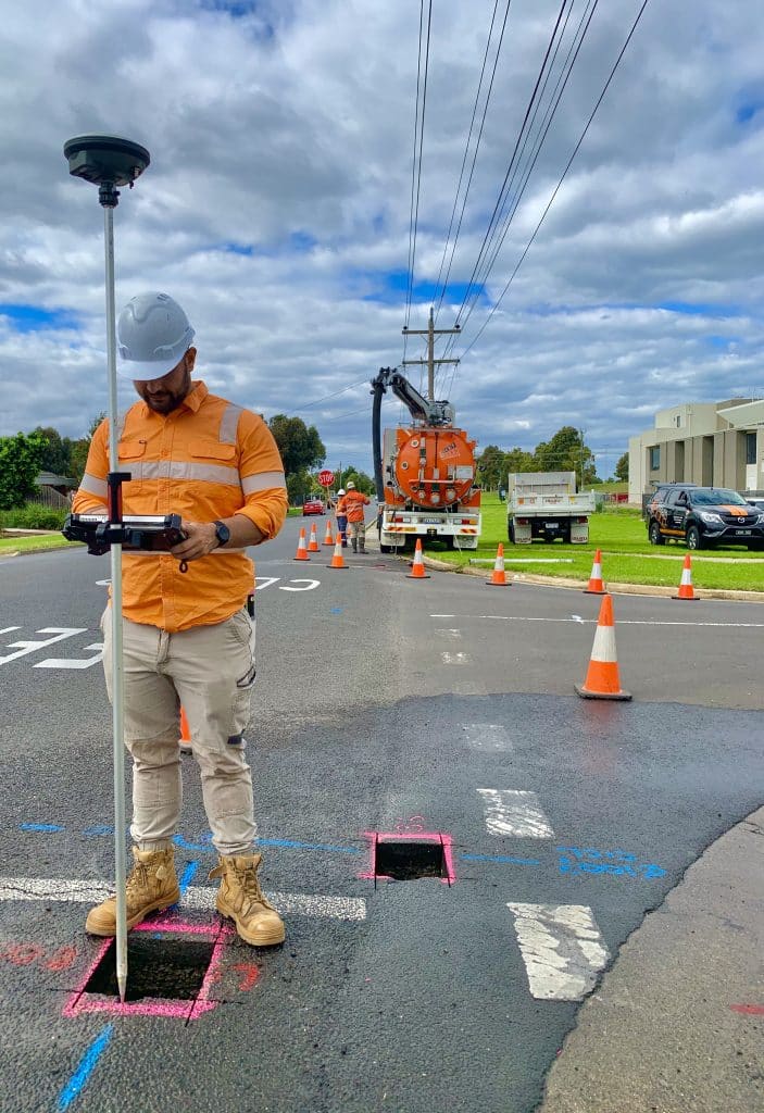
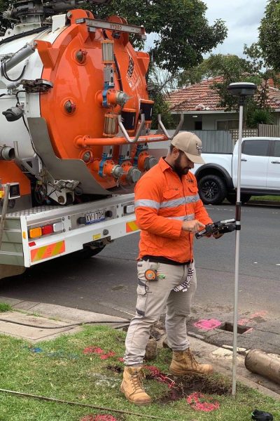
- Utility location surveys: We use advanced surveying techniques, such as ground-penetrating radar and electromagnetic detection, to locate underground utility lines and pipes.
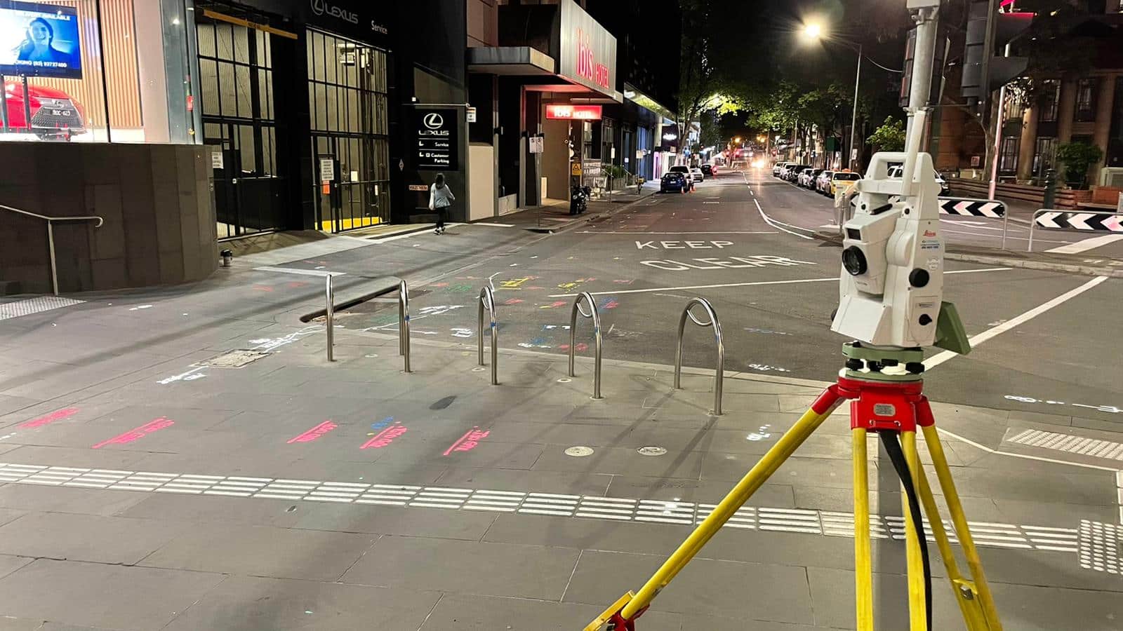
- Utility mapping: We create detailed maps and plans of utility infrastructures using GPS technology, total station, laser scanning, and 3D modeling.
- Utility condition assessment: We inspect and assess the condition of utility assets, such as pipes, valves, and pumps, to identify any defects or maintenance requirements.
- GIS data management: We integrate all the utility data into a Geographic Information System (GIS) to create a comprehensive and interactive utility map.
- Utility asset management: We provide recommendations and advice on utility asset management, including maintenance and repair schedules, replacement planning, and cost estimates.
- Utility conflict analysis: We analyse the potential conflicts between utility infrastructure and proposed construction projects to avoid any damage to the utility assets.
- Utility consulting: We provide consulting services to our clients on utility management, planning, and regulatory compliance.

Feature and Levels Surveying
Feature and level surveys are a type of land surveying service provided by experienced land or engineering surveyors. These surveys involve the measurement and mapping of land and other physical features to provide accurate and detailed information about the land and its features.
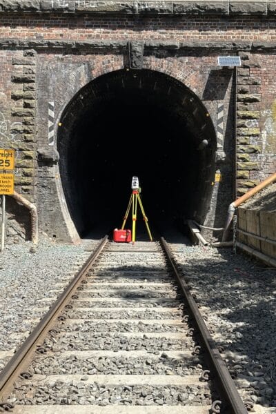
The process of conducting a feature and level survey involves the use of advanced surveying equipment, including total stations, GPS receivers, and other specialized instruments. The surveyor will use these tools to measure the elevations and contours of the land, as well as the location and dimensions of any physical features, such as buildings, roads, and waterways.
By providing accurate and detailed information about the land and its features, these surveys help ensure that projects are designed and executed in a safe and efficient manner, while also minimizing the risk of legal disputes or other issues down the road.
Data Management
Data management refers to the process of collecting, storing, organizing, maintaining, and utilizing data effectively and efficiently. It involves various activities, such as data entry, data processing, data analysis, data storage and data retrieval.
As a data management service provider, our primary goal is to help organizations to manage their data in an organized and structured way to make better decisions, improve business processes, and achieve operational excellence. Our service includes:
- Data collection: We collect data from various sources, and combine them into a single database
- Data cleaning and validation: We clean and validate the data to ensure its accuracy, consistency, and completeness.
- Data storage: We store the data in a secure and scalable database system, such as cloud-based data storage, to ensure that the data is easily accessible and available when needed.
- Data analysis and reporting: We analyse the data using various statistical and analytical tools to provide insights and create reports that support data-driven decision-making.
- Data visualization: We use data visualization techniques to create interactive and engaging datasets that help users to understand the data easily.
- Data governance: We establish data governance policies and procedures to ensure that data is managed in compliance with regulatory requirements and industry best practices.
In summary, our data management service helps organizations to streamline their data management processes, reduce costs, and improve productivity, while ensuring data quality, and compliance.
Engineering Surveys
Our engineering survey service offers accurate and precise surveying solutions for a variety of engineering projects, including infrastructure development, building construction, and site planning. Our team of experienced surveyors uses the latest technology and equipment to provide precise measurements and data for any engineering project.
Our engineering survey service is ideal for a variety of industries, including civil engineering, mechanical engineering, and environmental engineering. We specialize in providing survey data for design, construction, and quality control purposes.
Our engineering survey service includes a wide range of surveying techniques, including 3D laser scanning, GPS, and total station surveying. This allows us to provide highly detailed and accurate data for any engineering project, regardless of its size or complexity.
Our engineering survey service offers the following benefits:
- Accurate and precise survey data for any engineering project
- A wide range of surveying techniques for precise measurements
- Fast and efficient surveying services using the latest technology
- Customized solutions to meet your specific project requirements
- Expert analysis and interpretation of data for actionable insights.
Our team is committed to delivering high-quality engineering survey services that meet the needs of our clients. We work closely with our clients to understand their project requirements and deliver customized solutions that meet their specific needs.
In summary, our engineering survey service offers:
- Accurate and precise survey data for any engineering project
- A wide range of surveying techniques for precise measurements
- Fast and efficient surveying services using the latest technology
- Customized solutions to meet your specific project requirements
- Expert analysis and interpretation of data for actionable insights.
If you’re looking for a reliable and experienced engineering survey service provider, look no further than us!
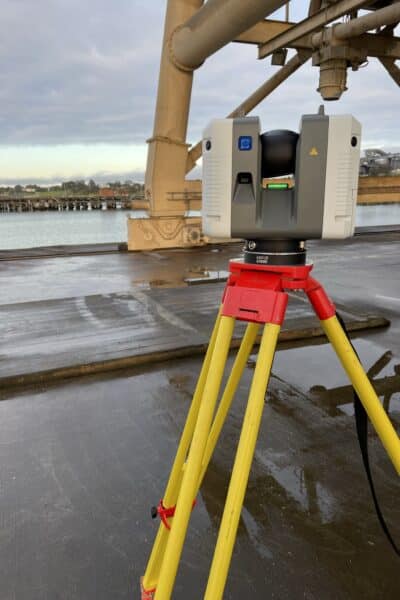
3D Laser Scanning
Our 3D laser scanning service utilizes the latest technology to create accurate and detailed 3D models of physical objects or environments. Our high-quality laser scanners capture millions of data points in a matter of seconds, allowing us to create highly precise digital replicas of any object or space.
Our 3D laser scanners are ideal for a variety of industries, including architecture, engineering, construction, manufacturing, and more. Our scans are perfect for creating digital as-builts, creating precise measurements for fabrication, and providing detailed data for quality control and inspection.
Our team of experienced professionals uses cutting-edge software to process the scan data into detailed 3D models that can be exported into a variety of formats, including CAD, BIM, and point cloud data. This allows our clients to easily integrate the 3D models into their existing workflows and design processes.
Our 3D laser scanning service is perfect for projects of all sizes and scopes. Whether you need to scan a small object or an entire building, our team has the expertise and equipment to deliver high-quality results. Our scans are fast, accurate, and cost-effective, making them an excellent choice for projects that require precision and speed.
In summary, our 3D laser scanning service offers:
- Highly precise 3D models of physical objects or environments
- Fast and efficient scans using the latest laser scanning technology
- Expert processing of scan data into detailed 3D models
- Export of 3D models into a variety of formats, including CAD, BIM, and point cloud data
- Affordable and cost-effective solutions for projects of all sizes and scopes.
If you’re looking for a reliable and accurate 3D laser scanning service, look no further than us!

Drones
A drone survey is a type of aerial survey that utilizes unmanned aerial vehicles (UAVs) equipped with a high-resolution cameras and other specialized equipment to capture detailed data about the land and its features from above.
Drone surveys are particularly useful for capturing information about large areas of land or hard-to-reach terrain, as they can cover a large area quickly and safely. They also provide highly accurate and detailed data, making them an ideal choice for projects that require precise measurements or complex data analysis.
During a drone survey, the UAV is flown over the target area, capturing high-resolution images and other data. The images are then processed using specialized software to create a detailed map or plan of the land and its features, including topography, vegetation, and other important data points.
The data collected during a drone survey can be used to inform a variety of land-related projects, including land development, environmental assessments, and property management. It can also be used to create 3D models of the land and its features, allowing stakeholders to visualize the area in a more immersive and interactive way.
Drone surveys are typically performed by experienced surveying professionals who have been trained in drone technology and data analysis. They will work closely with the client to determine the specific objectives of the survey and to design a survey plan that will capture the necessary data in an efficient and cost-effective manner.
Overall, drone surveys are a powerful tool for anyone involved in land-related projects. By providing highly accurate and detailed data, they help ensure that projects are designed and executed in a safe and efficient manner, while also minimizing the risk of legal disputes or other issues down the road.